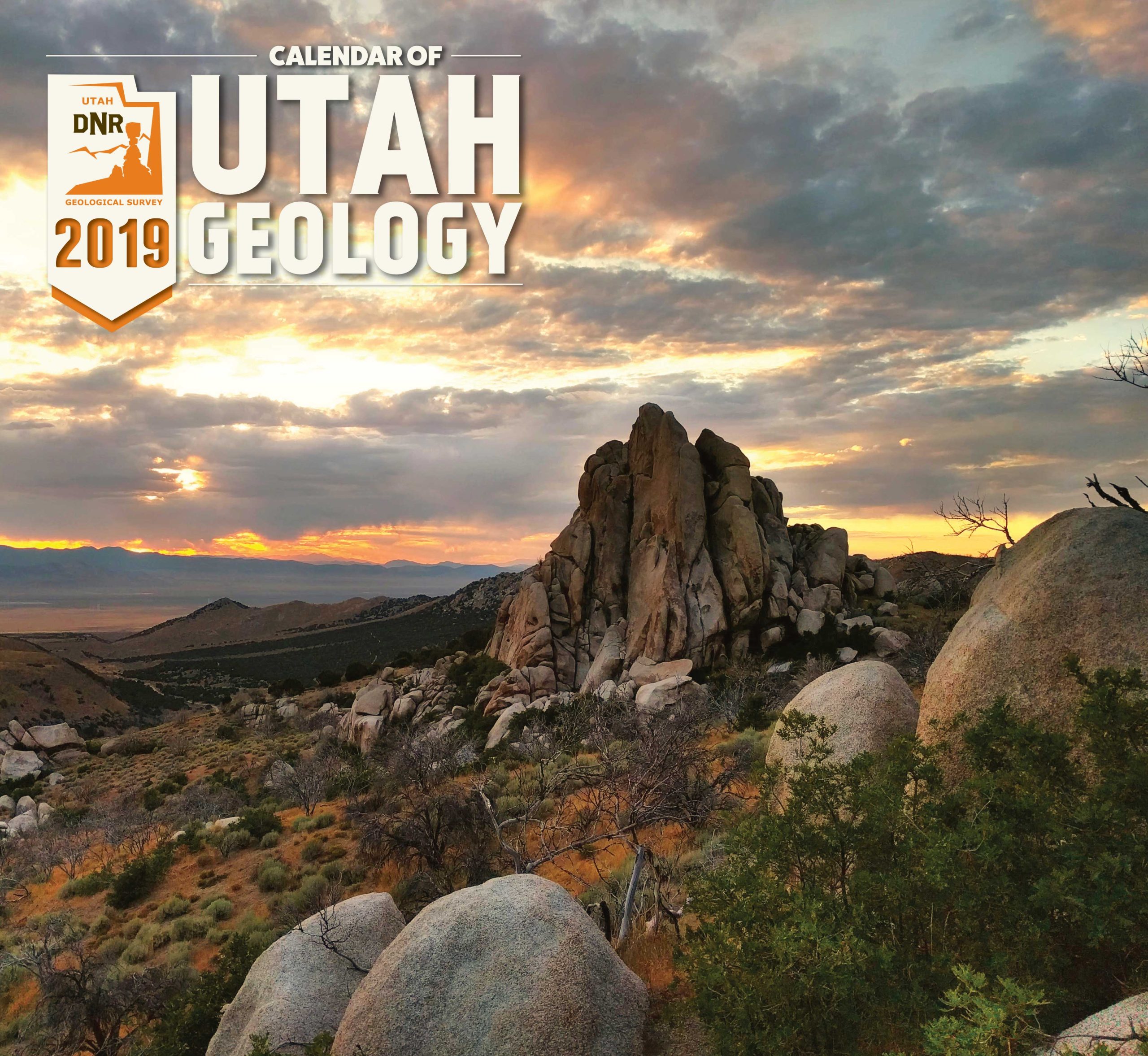
The Utah Geological Survey (UGS), a division of the Utah Department of Natural Resources (DNR), recently released the 13th edition of its popular Calendar of Utah Geology. This year’s calendar continues a tradition of stunning photographs of Utah’s amazing geologic landscapes, but also contains more geologic educational material.
New to this year’s calendar is a state geologic map, geologic time scale, and descriptions of Utah’s geologic state symbols: rock (coal), mineral (copper), fossil (Allosaurus), dinosaur (Utahraptor), gem (topaz), and work of land art (Spiral Jetty).
A panel of UGS employees, including scientists and artist, chose from 196 photographs submitted by their peers. The competition can be fierce and the pool of submitted photographs diverse, as staff often work in some of the state’s most remote, unique and lesser known locations. Wining photographs are accompanied by location details and a brief explanation of how and when the geologic wonders formed.
“The calendars make affordable, unique, and thoughtful gifts made, printed, and sold in Utah,” said Natural Resources Map & Bookstore Manager Brian Butler. “Previous years’ calendars have sold quickly, aided by large orders from corporate customers such as real estate agencies and law firms who give them out as client gifts.”
The 2019 Calendar of Utah Geology is a bargain at $5.95 each, $4.95 for orders of 10 or more, and $4.25 for orders of 100 or more. It is available at the Natural Resources Map & Bookstore, 1594 West North Temple, Salt Lake City, (801) 537-3320 or 1-888-UTAHMAP. They may also be purchased online at www.mapstore.utah.gov.
The Utah Geological Survey provides timely scientific information about Utah’s geologic environment, resources, and hazards. It is one of seven divisions within the Utah Department of Natural Resources.
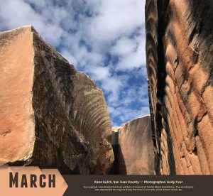
March shows corrugated, conchoidal fracture patterns in blocks of sandstone. Kane Gulch, San Juan County. Photographed by Natural Resource Map and Bookstore Clerk Andy Cvar.
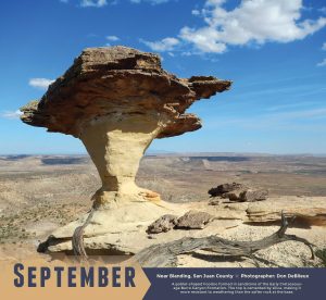
September displays a goblet-shaped hoodoo formed in sandstone. The top is cemented by silica, making it more resistant to weathering than the softer rock at the base. Near Blanding, San Juan County. Photographed by Assistant State Paleontologist, Don DeBlieux.