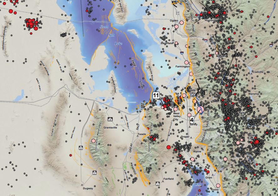
The Utah Geological Survey (UGS), University of Utah Seismograph Stations (UUSS), and Utah Division of Emergency Management (UDEM) recently published the Utah Earthquakes (1850–2016) and Quaternary Fault Map (UGS Map 277). The new map shows earthquakes within and surrounding Utah from 1850 to 2016, and faults considered to be sources of large earthquakes.
The faults shown on the map are considered geologically active, have been sources of large earthquakes (about magnitude 6.5 and greater) during the Quaternary Period (past 2.6 million years), and are the most likely sources of large earthquakes in the future. Most of the small to moderate-sized earthquakes on the map are “background” earthquakes not readily associated with known faults and too small to have triggered surface faulting (under about magnitude 6.5).
There is a 57% probability (over 1 in 2 chance) that a magnitude 6.0 or greater earthquake will occur in the Wasatch Front region in the next 50 years. To address this threat, the Utah Earthquake Program consisting of the UGS, UUSS, and the UDEM, developed the map so the public could more fully understand the hazard from earthquakes and faults, as well as the resulting risk to property, infrastructure, and life safety in Utah. Users of the map will be able to determine past earthquake locations and relative magnitudes (size), along with the locations of active faults and the timing of their most recent movement.
Printed copies of the map are available for $15 at the Utah Department of Natural Resources Map & Bookstore. The map is also available as a PDF download (44 by 62 inches in size) and can be printed on a wide-format printer.
Additional information on the hazard and resulting risk from earthquakes is available through the Utah Geological Survey and from the Utah Seismic Safety Commission. Additional information is available at the following agency websites:
UUSS: http://quake.utah.edu
UDEM: https://dem.utah.gov/
UGS provides timely scientific information about Utah’s geologic environment, resources, and hazards. It is one of seven divisions within the Utah Department of Natural Resources.